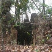
The Khmer kingdom, whose capital was at Angkor (Cambodia) from the 9th to the 14th-15th century, was founded in 802 by king Jayavarman II in a city called Mahandraparvata, on Phnom Kulen.
Whereas nothing more is known of Mahandraparvata from the epigraphic sources, systematic archaeological survey and excavation have identified an array of cultural features indicating that the settlement was far more extensive and enduring settlement than reflected by the historical record.
Soil erosion and vegetation change indicate approximately 400 years of intensive land use around the city of Mahendraparvata in the Phnom Kulen region, beginning in the mid 9th century, with marked change in water management practices from the 12th century, according to results published in the open access journal PLOS ONE by Dan Penny (University of Sydney) and his colleagues from other institutions.
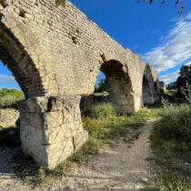
The main historical and geographical significance of the Phnom Kulen plateau lies in its role as Angkor’s source of water, and the 12th century changes may have had implications for water supply to Angkor.
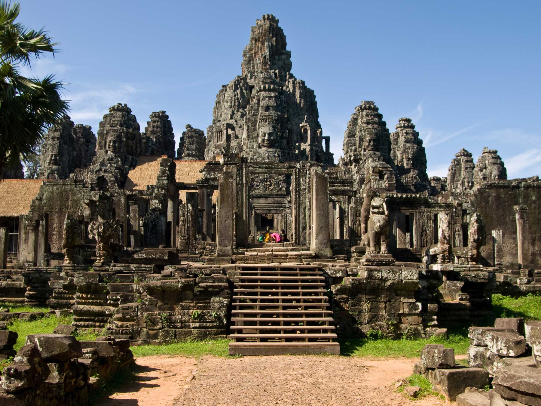
Angkor was a vast capital and at its peak it sprawled over nearly 1,000 km2 and may have housed more than three quarters of a million people. The primary administrative centre in a kingdom that dominated most of mainland Southeast Asia by the 11th century CE, Angkor, was the largest pre-industrial city on Earth and remains the world’s largest archaeological site.
Universal king
The Angkor period is commonly understood to start in 802 CE with the proclamation of Jayavarman II as the universal-king from a location in the Kulen mountains, overlooking the vast alluvial plain where Angkor would begin to emerge in the following centuries. In doing so, Jayavarman confirmed himself as the great unifier; drawing Cambodia’s disparate polities together under the first ‘god king’ and establishing the Khmer state and the basis of its empire.
Samples from ancient reservoir
The researchers examined soil cores and vegetation samples from one of the ancient reservoirs in the Phnom Kulen region for evidence of intensive land use during the occupation and abandonment of Mahendraparvata. These data were analysed within the context of archaeological data about extensive settlement in the area.
The results suggest that the valley was flooded in the mid to late 8th century, but the age of the reservoir remains inconclusive. The results from the soil and vegetation samples suggests that the reservoir operated for about 400 years and that settlements were intensive enough to trigger extensive soil erosion within the reservoir over a span of approximately 250 years beginning in the middle of the 9th century. The last and largest episode of erosion occurred in the late 11th century, and this event reflects a change in reservoir operation and management. The results also suggest a change in water management practices from the 12th century. This is the first indication that settlement in Mahendraparvata was not only extensive, but also intensive and enduring, with a marked environmental impact.
Recent LiDAR results
A recent LiDAR mission over Phnom Kulen has revealed an extraordinary array of cultural features beneath the forest canopy. The implications of this discovery are still under study, but it seems certain that Phnom Kulen is part of a long and complex history of the Angkor region, stretching back millennia. In particular, the LiDAR indicates so much construction that large areas of the central plateau of the Kulen would have been extensively or completely deforested, just as they were on the Angkor plain to the south.