A research team from the University of Cincinatti, US, managed to visualize the political borders of the ancient metropolis of Antioch using technological elements provided by Google Earth.
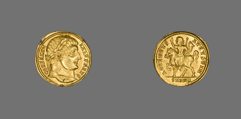
The research team, an inspiration of Kristina Neumann, a doctoral candidate the University’s McMicken College of Arts & Sciences Department of Classics, based their research on the allocation, scarcity and density of Antiochian coins of different periods. Neumann explains that she and colleagues created a database using already published excavation reports and coin hoards, importing it to Google Earth as a second step. Such an action allowed the team to show visually the way Antioch’s political influence changed as the Roman Empire took over.
As stated in New Orbit website, Neumann catalogued the coins using info such as the city they were minted and under whose authority. “My criteria are so detailed that I can see all the coins for a particular emperor or of a particular material.” she explains.
What Neumann and co. finally indicated is that Antioch’s civic coins spread farther out than previously thought, having been particularly abundant along a trade route.
Coins provide important data about a city’s political relationship among cities. If Antiochene coins were found in a neighboring city, it meant that a political agreement had been etched between the two governments. Given the above, Neumann who is, as she states, interested in the idea of empire, both physical but also cultural and influential, aims through her research to define additional ways in which a multiethnic and multicultural empire could last so long as the Roman one did.