In April and June 2018, A Swedish team, headed by Professor Peter M. Fischer from the University of Gothenburg, carried out excavations at the Late Cypriot harbour city of Dromolaxia-Vyzakia (Hala Sultan Tekke). The team consisted of 27 students and specialists. Amongst the latter were those trained in osteology, botany, conservation, Aegean and Near Eastern ceramics, and geophysical prospecting.
In June 2017, the site was surveyed with a magnetometer with ten sensors mounted on a 5 m wide cart. This arrangement allowed the mapping of 23 hectares within a week, demonstrating stone structures and “pits” down to a depth of roughly 1.5 m. The architectural remains point to numerous man-made structures in the entire area of the survey, demonstrating the vast extent of the city. In 2018, 0.6 hectares of the magnetometer-surveyed area were re-investigated with georadar in order to see details of the buried features which facilitates the subsequent excavations. However, the results of the georadar survey were of limited value: the strong radar attenuation at the site, due to clay-rich soil, did not allow electromagnetic waves to penetrate deeper than a few decimeters from surface.
City Quarter 1 and 4, and Area A
This year’s team was divided into three groups: two larger groups excavated in the fenced City Quarter 1 (CQ1) and the recently discovered CQ4 (CQ2 and 3 are also fenced and protected for future research but were not investigated this year). The third group opened two trenches close to Area A, just to the west of the mosque of Hala Sultan Tekke, in order to verify the results of the magnetic prospecting. The magnetometer map showed numerous pits and a few stone built structures in an area where tombs, offering pits and wells were exposed in the seasons 2014-2017.
City Quarter 1
The results from the excavations in CQ1, which began in 2010, verified earlier observations that the nature of this quarter was mainly industrial but also domestic. CQ1 was used during four phases of occupation dating from Late Cypriot (LC) IIC to LC IIIA, i.e. the 13th and first half of the 12th centuries BC. There is significant evidence of urban copper production (cf. seasons 2013-2017): three furnaces, tuyères, crucibles and nearly half a ton of slag mixed with copper ore were found in the southern part of CQ1. In addition, purple-dyed textiles were produced there judging by numerous finds of bone beaters, loom weights and spindle whorls. Although this part of the city is mainly industrial, much of the pottery (fine wares) and other finds are of surprisingly high quality, indicating the elevated status of the metal and textile workers. Amongst the finds from CQ1 is the ivory pommel of a dagger.
City Quarter 4
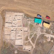
This city quarter is between CQ1 and Area A and presents the largest city quarter so far discovered at Hala Sultan Tekke. The magnetometer map shows regularly arranged stone-built compounds of imposing dimensions intersected by streets. The entire layout resembles that of Enkomi. The central part of this city quarter, measuring 65 m x 60 m, was fenced off in order to protect it from continued farming since the most recent structures are just 20 cm below surface (there are, however, equally interesting structures outside the fence. The extremely well-built walls of ashlar blocks distinguish this quarter from CQ1, CQ2, and CQ3, which are of industrial and domestic character. Here, we found a bathroom coated with ashlar blocks (both the walls and the floor) demonstrating an advanced hydro-technical construction: there is a water inlet at the base of the southern wall which is built of ashlar blocks. Opposite is a drain also built of ashlar blocks. The floor, which slopes towards the drain, is partly paved by ashlar blocks together with a thick layer of plaster. Outside the room (to the south of the inlet) is a water channel most likely leading upwards to a well surrounded by walls. The presence of a well could not yet be verified but the magnetometer map suggests a large “pit” (to be excavated in 2019). To the north of the bathroom is a corridor, at least 20 m long and three metres wide, which contained numerous pithoi and smaller vessels. This corridor represents a storage area for mainly liquids such as water, wine and olive oil. The storage corridor could be reached from the north via steps built of ashlar blocks. In front of the steps was a double gate, which is indicated by two door sockets. Just to the east of the gate is a stone installation with a thick layer of crushed murex shells (Hexaplex trunculus). So far, the expedition could expose only Stratum 1 in a limited area. Nevertheless, burned mudbrick and ash confirmed earlier observations from CQ1-3 that this phase ended in a violent destruction after which the city was abandoned, never to be occupied again. In summary: the extension of the compounds and the nature of the stone structures give the impression of an administrative building, maybe a palace or temple, where necessities were stored. The date of the most recent part of the compound is LC IIIA / 12th century BC.
Area A
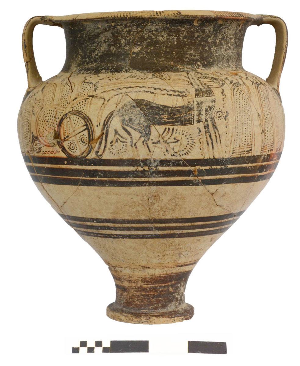
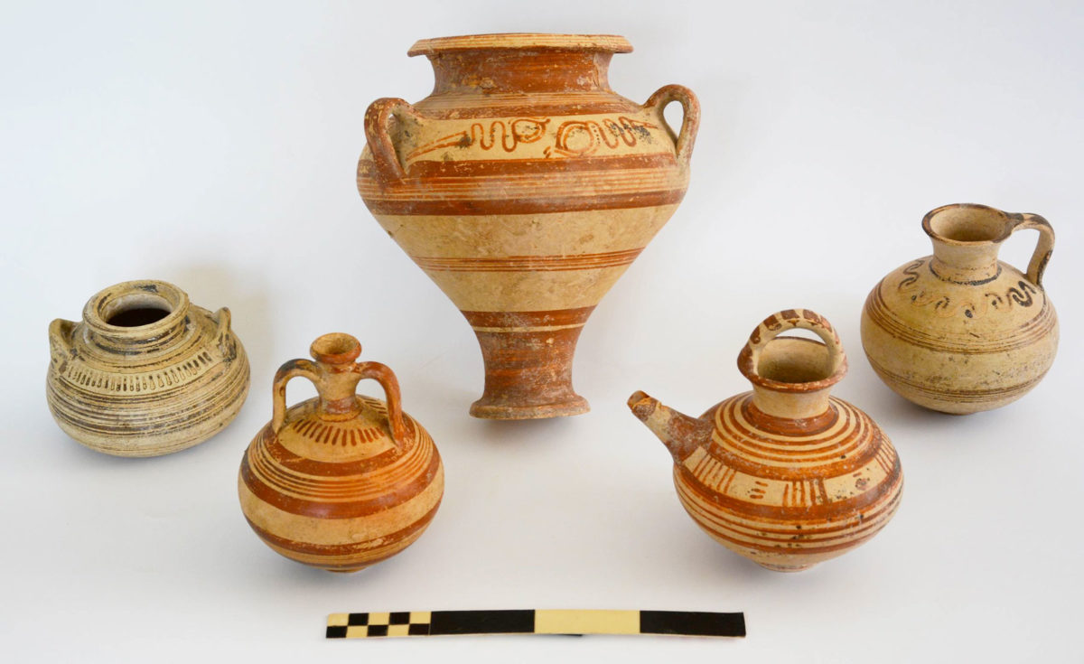
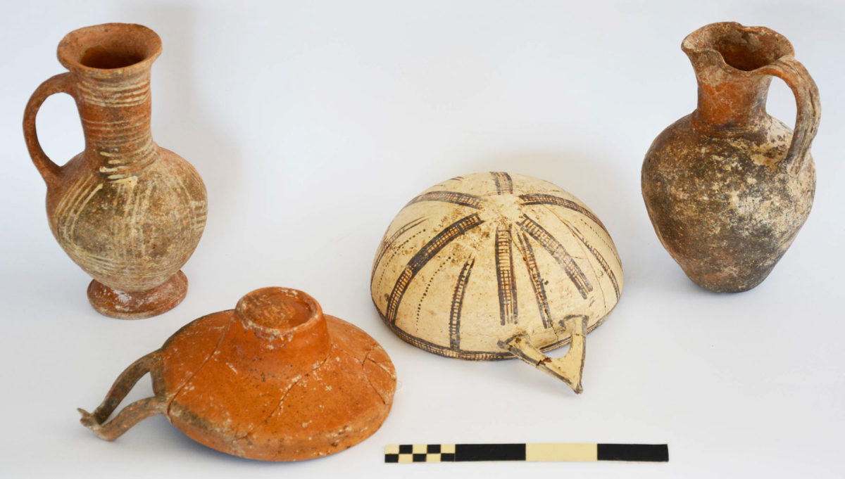
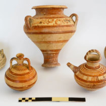
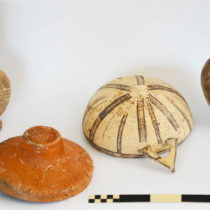
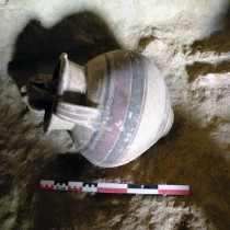
One of numerous magnetic anomalies, which indicated “pits”, was exposed. It was shown to represent a rich tomb (Tomb RR). The tomb has the shape of a recumbent “8” and contained 13 skeletons. Finds include plenty of local wares and numerous imports from the Aegean, the Levant and Egypt. Local wares are represented by various vessels of White Slip II (mature), Base-ring I and II and Plain White wheel-made wares. The Late Helladic and Minoan imports comprise pirifrom jars, alabaster, a feeding bottle and juglets. Amongst the most spectacular finds from this season is a complete, very large, chariot krater depicting two chariots drawn by two pairs of horses and 10 individuals. Egyptian imports include a faience bowl and an alabaster juglet. One of the female skeletons was buried with two pierced ivory discs of which one is incised with a pattern of petals. The ivory disks were part of her dress and were found close to her hips. The tomb is dated to LC IIA-C / LH IIIA-B.
