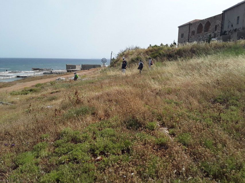
Preventative archaeological survey in the vicinity of the medieval Deir el Natour monastery targeted archaeologically rich land- and sea-scapes threatened by large-scale development. Terrestrial landscape survey in collaboration with the team of Dr. Nadine Panayot-Haroun at the University of Balamand (23 May to 5 June 2019) and offshore remote sensing work (17 July to 24 July 2019) documented the heritage potential of one of the last unspoilt areas of coast in northern Lebanon.
Onshore, 341 survey units and 68 architectural or archaeological features were recorded. These included three Roman-Byzantine agricultural sites, extensive prehistoric scatters on the coastal ridges, a Crusader to Ottoman period fortified farmstead, quarrying sites and a necropolis, and an important lime kiln connected to Ottoman and pre-modern salt production. Detailed mapping of archaeologically significant areas was also completed for them to be registered for protection and management.
Offshore, a geophysical survey was undertaken by MSDS Ltd, a UK-based marine and coastal contractor, covered the area under threat. Several types of equipment were used including a sidescan sonar, a parametric sub-bottom profiler, a single beam echo sounder, and a magnetometer. The survey data will be used to inform the maritime archaeological baseline and lead to ground-truthing to verify recorded targets in advance of construction works.
