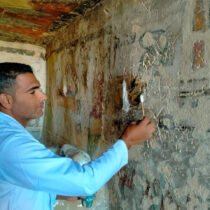
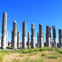
The temple of Epicurian Apollo at Vasses, designed by Iktinos, typically supports the need (and the virtues) for a comprehensive approach to surveying at a preliminary stage. This monument of the archaic period’s Doric order, presents two peculiarities: the temple’s main axis runs from North to South and on its narrow side it has an odd number of columns. To begin with, ground topographies were made to localize archaeological remains on the main topographic maps in the area, as well as linking the monuments’ site to the country’s trigonometric network. Furthermore, necessary topographic calculations were carried out, on and around the monument. Ground photographs were taken both with cameras used for measuring and with ordinary ones. Shots were taken with the latter, using a bipod and from a low height using a balloon. The method of reduction and stereoapodosis was used for photogrammetric results. Up to now, the restricted use of photogrammetry in surveys was due to the deficient collaboration between the photogrammetrist and the archaeologist or architect in charge. Experience has shown that a combination of methods brings better results. For a monument to be thoroughly studied, a number of differently scaled diagrams are needed, linked to the same system of reference. Aerial photography carried out just above the ground, using a bipod or a balloon, proves to be a valuable aid to surveying.
A comprehensive approach to architectural surveying
06 Aug 2012
by Archaeology Newsroom
- A
- A
- A