Indigenous people in precontact Michigan (1200–1600 AD) may have cultivated maize more prominently than previously assumed for such a northern population, a new study from UNH researchers Meghan Howey and Michael Palace found. Harnessing remotely sensed landscape data in a novel way, the researchers connected archaeological features — burial mounds — to environmental data on lake temperatures. They published their findings in the journal PNAS recently.
Maize, a Mesoamerican crop that transformed the early societies that domesticated it, has been widely considered a “marginal” crop to indigenous people in cold climates like the Great Lakes.
“But when we ran this model and we looked at the temperature of lakes and the association of burial mounds with inland lakes, what became really clear is [indigenous people] were understanding their environment so much that they’re putting their mounds on lakes where they can grow corn right into an extended fall season,” says Howey, professor of anthropology. “We’ve probably missed a much bigger story that they were also growing maize in sophisticated and complicated ways.”
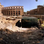
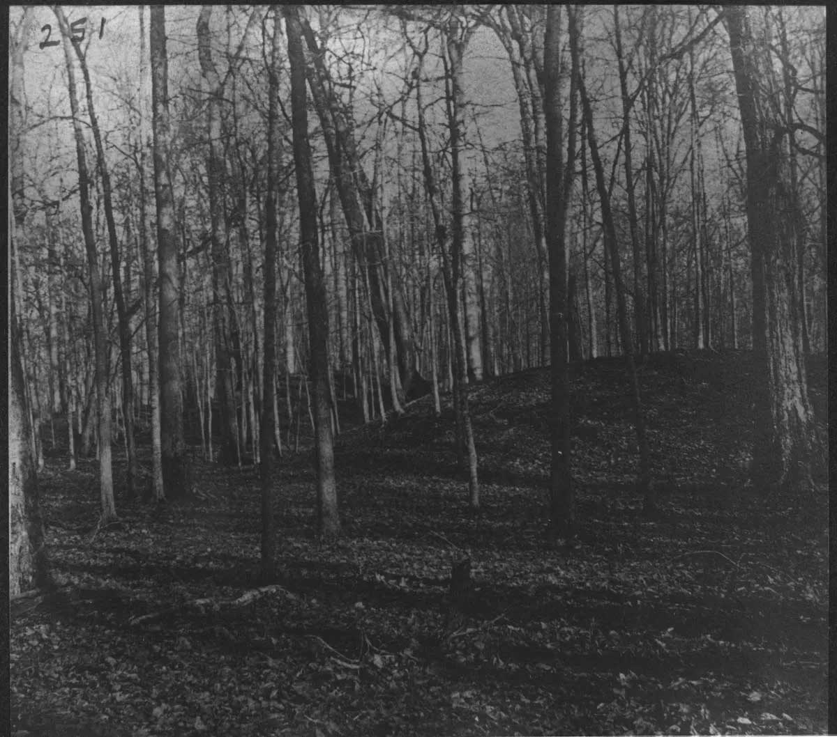
Burial mounds, Howey notes, are ceremonial monuments that arose after 1200 AD and signaled a shift in how indigenous communities in Michigan’s lower peninsula used resources and related to places. “When you put the ancestors somewhere, you’re staking more of a claim to your resource territories and you’re creating paths for people to come back and visit those places and remember them,” Howey says.
Comparing modern (2014–2024) temperature data from NASA’s Landsat 8 satellite to the locations of burial mounds built between 1200 and 1600 AD, prior to European contact, Howey and Palace found that the lakes with burial mounds warmed later in the spring, cooled later in the fall, and were more regularly round or circular than lakes without mounds. These results suggest that placement of burial mounds may have been associated with an extended maize-growing season, hinting at a greater cultural role for maize than previously thought.
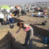
The interdisciplinary work — Palace is a remote sensing expert and associate professor of Earth sciences — taps a method of connecting Landsat data satellite with temperature values that Palace previously used to track cyanobacteria and algae blooms in New England lakes. Archaeologists have long used drones, satellites, and even hot-air balloons to discover archaeological sites from the sky, but utilizing geospatial tools to find relationships between landscapes and ecosystems represents a new frontier, says Howey.
“It’s a cool example of taking a tool developed for an ecological application and using it for archaeological research,” she says. It leverages free global data, so it’s a tool she and Palace anticipate will be useful to others going forward.
The archaeological findings from this method could have wider-ranging effects as well, including some close to home. “New England’s another place where indigenous maize agriculture has really been downplayed,” says Howey. “This is the kind of tool that we could use here to look for these patterns.”