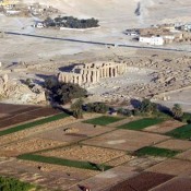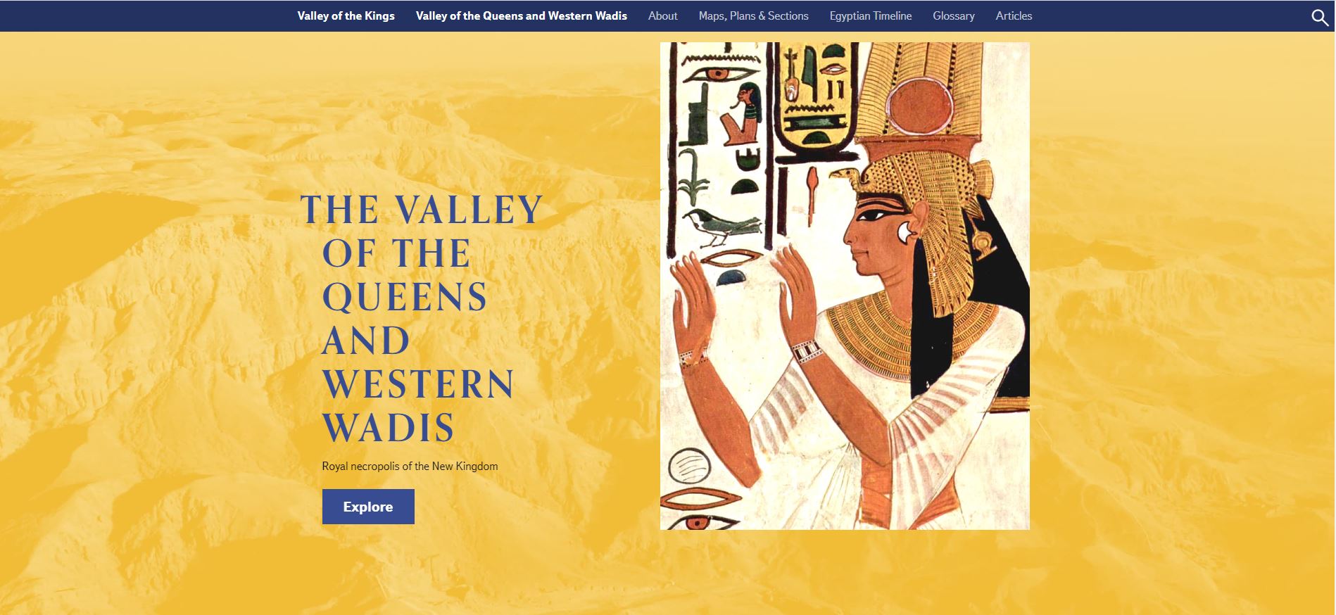
The Valley of the Queens, the ancient Egyptian royal necropolis for the wives and children of New Kingdom Pharaohs is now accessible online, through a brand new section at the website of the Theban Mapping Project. Apart from the valley of the Queens, the new section also contains info on the Western Wadis, a site famous for groups of virtually inaccessible tombs reserved for royal family members of the early 18th dynasty and minor royalty of later periods.
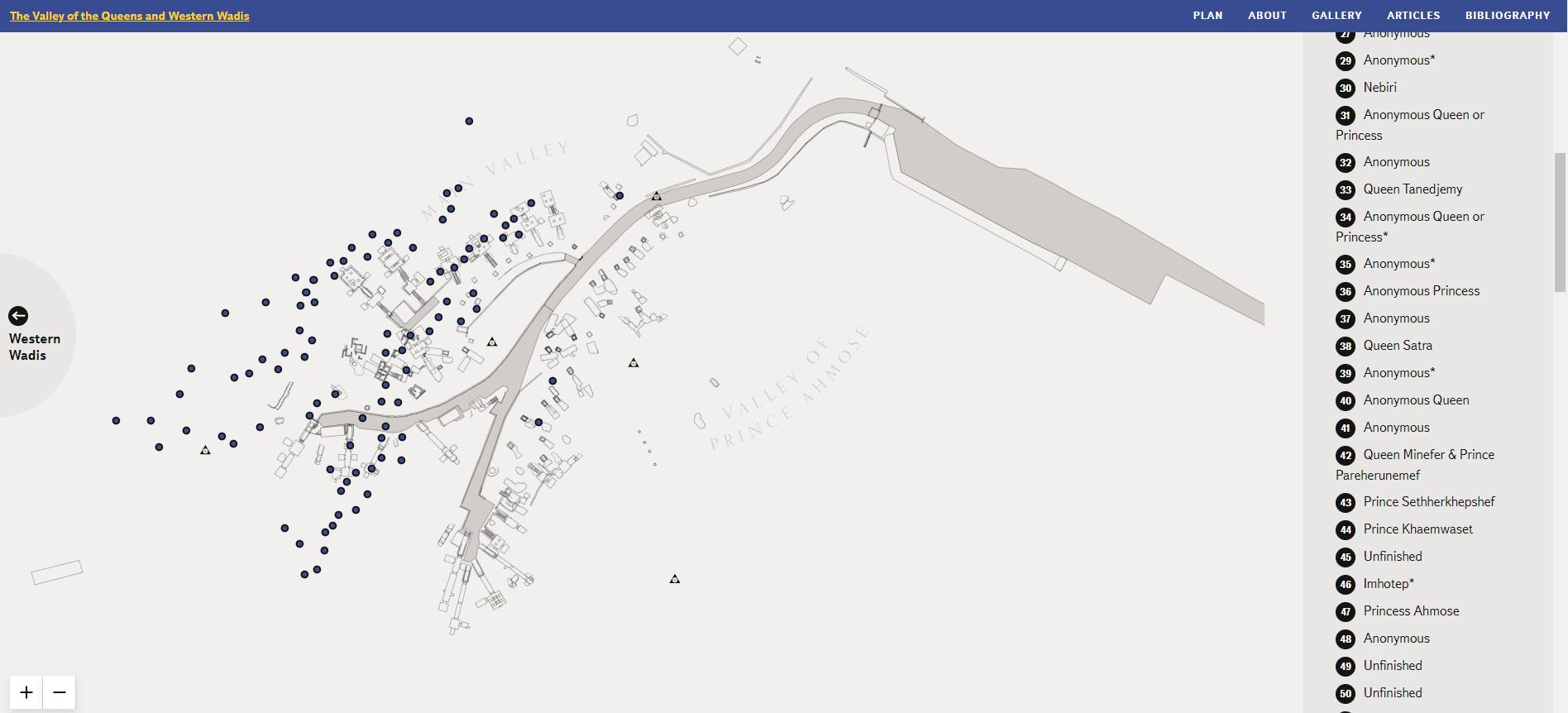
The Valley of the Queens (bibliographically known as QV) was known in antiquity as ta set neferu, which means “The Place of Beauty” and “The Place of (Royal) Children”. Indeed, the first people to be buried there were princes and princesses, recorded through fragments of funerary equipment in pit graves. From the 19th Dynasty onwards, massive tombs are built to function as the eternal homes of queens- royal wives and mothers; hence the modern names of the necropolis: Biban al Harim (Gates of the Harem) in Arabic and the Valley of the Queens in English. These monumental tombs, massive in style and beautifully decorated, were likely built en masse, in the framework of two building projects commissioned by Pharaohs Ramesses II (19th Dynasty) and Ramesses III (20th Dynasty) respectively. The biggest and most spectacular of all these monuments, and the site’s highlight, is the tomb of Nefertari, Ramesses II’s most prominent wife. Of equal importance, however, are the five monumental tombs ascribed to certain sons of Ramesses III, which contrast to the single, massive tomb that Ramesses II had built to collectively host his own sons’ burials in the Valley of the Kings (KV 5).
The Western Wadis are several large wadis (canyon-like dried river course) systems cut deep into steep cliffs about two kilometers west of the Valley of the Queens. In fact, the site is divided into three wadi complexes: Wadi Jabbanat el-Qurud (known also as Valley of the Apes), Wadi al Gharbi (wadi of the West), and Wadi al-Bariyah. Of them, Wadi Jabbanat el-Qurud is by itself a system of four canyons (known as wadis A, B, C, and D) and is mostly known as the site of the super-rich tomb of three minor wives of Thutmose III, the relatively monumental tomb made for the female pharaoh Hatshepsut when she was still a King’s Wife, the cliff tomb reserved for Hatshepsut’s daughter Neferure and more recently another royal tomb likely made for a queen and several royal children, again of a Thutmoside date. Wadi al-Bariyah is mostly important for a large complex of subterranean shaft tombs (WB1) while Wadi al Gharbi, also divided into three smaller canyons (wadis E, F, and G), might have hosted the tomb of Herihor, the High Priest of Amun who served as pharaoh and ended up being the last Egyptian king based in Thebes. As stated on the website though, “a relatively small number of New Kingdom royal wives, sons, and daughters were buried in QV and nearby wadis in comparison to what is found in the historical record”.
If all the above seems complicated, this is an extra reason for browsing the site, as there everything is only unfolded before your eyes. Digitally annotated maps of the area, both in abstract and detailed form, are accompanied by ground and side plans for each tomb, a massive photographic archive with images linked to monuments, complete portable finds’ inventories, informative textual material, and an updated bibliography in the form known already known through the TMP’s work for the Valley of the Kings. Following the site’s revamping, this new section is another step into the future of the Theban Mapping Project which, as a bridge between research and the wider public, continues to be at the forefront of digital Egyptology.
About the Project:
As stated on the Theban Mapping Project’s website, the purpose of the Theban Mapping Project is to design and implement existing condition reports and management plans for the archaeological sites of the Theban Necropolis. The team led by Kent Weeks has been working in Thebes and particularly the Valley of the Kings since 1978, at first under the name The Berkeley Map of the Theban Necropolis and affiliated with the University of California at Berkeley. The project and its focus have changed a lot over this period of time and even now the Theban Mapping Project continues to develop and expand. During the 1981 season, the name of the project was changed to the Berkeley Theban Mapping Project and the focus of the project widened from the Valley of the Kings to include the Valley of the Queens. With Dr. Weeks leaving Berkeley and joining the American University in Cairo (AUC), the project acquired its current name. The documentation of KV5 and the discovery of its true size and importance during the mid-’90s was a key moment in the history of the project. In 1997, the Theban Mapping Project’s first website kv5.com was launched, giving access to information about Theban Mapping Project’s work in the Valley of the Kings and elsewhere on the Theban West Bank, ultimately being a breakthrough in digital Egyptology. With the launch of thebanmappingproject.com in 2002, further information was made available to scholars and the general public. Soon though, the website’s interface technology went obsolete, and by the mid 00’s the whole online system went down, while data still being accessible offline for the project team members. In the summer of 2018, a deal was inked with the American Research Center in Egypt (ARCE) to revive the website, finally bringing it up online in January 2021 as a project of the ARCE in partnership with the AUC’s Egyptology Department. Regarding the project website’s new section, much of the information for the Valley of the Queens and Subsidiary Wadis was provided by the Getty Conservation Institute (GCI) and Egypt’s Ministry of Tourism and Antiquities (MOTA).