The University of Bradford’s Submerged Landscapes Research Centre, led by Professor Vince Gaffney, is about to embark on an ambitious project to map the seabed in the Baltic and North Seas, funded by an €8 million (just under £7 million) grant, the largest single grant ever awarded to the University.
The University is one of four key partners in a collaborative project starting early next year that received funding from the prestigious European Research Council. It will provide a deeper understanding of how our ancestors lived in areas now under the sea and comes at a crucial time, as wind farm developments are making these areas more inaccessible to researchers.
The EU has provided overall funding of more than €13.2 million for SUBNORDICA – a research collaboration between principal investigators from Moesgaard Museum, Aarhus University, the University of Bradford and the German research institute NIhK, to explore submerged landscapes in the North Sea and the Baltic. The project will apply the latest technologies to map the seabed, using AI and computer simulation to identify areas where long-lost settlements may still survive and can be explored, enabling ethical development of the seabed.
“Twenty-thousand years ago, the global sea-level was 130 metres lower than the present… home to human societies for millennia… we know almost nothing about the people who lived on these great plains. SUBNORDICA will use the latest technologies to explore these lands”.
Researchers at the University of Bradford’s Submerged Landscapes Research Centre will lead exploration in the southern North Sea alongside partner investigators from the Netherlands (TNO – Geological Survey of the Netherlands), Belgium (Flanders Marine Institute) and the University of York. Bradford will also host the project’s computing infrastructure, providing modelling and AI support for the quest to discover lost prehistoric settlements of the North Sea.
SUBNORDICA is complimentary to Life on the Edge, Taken at the Flood and Unpath’d Waters research projects, all of which focus on marine palaeolandscapes.
Background
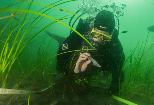
During the past two decades, archaeologists have become increasingly aware there is a major gap in our understanding of world prehistory. That gap is the 20 million km2 of new territory around the world that was exposed for thousands of years when the sea level was around 130 metres lower than today.
More than 3 million km2 of new land was exposed around-Europe’s present coastline, along with coastal plains, lakes, river valleys, shorelines and offshore islands which provided some of the most attractive land for prehistoric settlement anywhere in the continent. Now lost to the sea following global climate change, these landscapes remain almost entirely unexplored. Today, these landscapes are under threat as the world develops the coastal shelves to meet net zero goals.