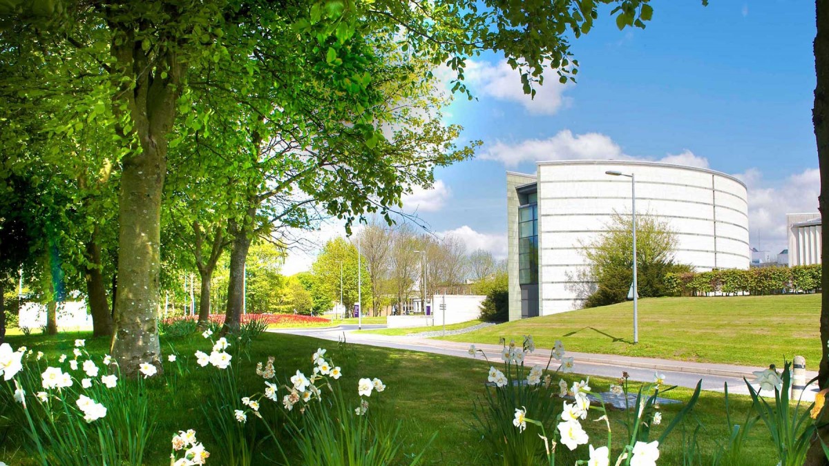
This year’s programme for the Lancaster Summer School in Interdisciplinary Digital Methods has been announced. These will be held at Lancaster University, UK 14-17th July 2015. This year’s offerings include: the ERC Summer School in GIS for the Digital Humanities, a course that has run successfully for a number of years, and a new course in Corpus Methods for the Humanities. There are also three other courses in corpus methods which may be of relevance: Corpus Linguistics, Statistics for Corpus Linguists, and Corpus Approaches to Social Science.
The courses are open to all but are primarily aimed at PhD students and early career researchers who want a thorough grounding in the topic.
All courses are free to attend but places are limited and advanced registration is required.
This Summer School is an intensive, hands-on introduction to the use of Geographical Information Systems aimed at PhD students and other junior researchers in the digital humanities.
Geographical Information Systems (GIS) is the field of geography devoted to the visualisation, in the form of maps, of non-visual data sources. These data sources can range from statistical databases to corpora of literary texts.
The Summer School in GIS for the Digital Humanities is sponsored by the European Research Council as part of the five-year project Spatial Humanities: Texts, Geographic Information Systems and Places. It is taught by Prof. Ian Gregory and Dr. Catherine Porter.
Prof. Gregory is the principle investigator of the Spatial Humanities project, and a leading specialist in GIS and its application across the social sciences and humanities. He is the author (with P.S. Ell) of the book Historical GIS: Technologies, Methodologies, and Scholarship.
Dr. Porter is a research associate on the Spatial Humanities project. Her background is in geography, with a particular specialism in Goegraphic Information Systems. Her research interests include the application of GIS and various quantitative techniques in the digital humanities, historical geography, the history of cartography and how early maps may be interrogated using quantitative techniques.
For more information, see http://www.lancaster.ac.uk/fass/projects/spatialhum.wordpress/?page_id=53.
Programme
Over four days, a series of intensive lab-based sessions will be used to introduce GIS, from the basic concepts, to the use of key software including ArcGIS, to a consideration of approaches for applying GIS in different kinds of humanities research. The aim is to give participants the skills needed to exploit GIS techniques in their own research – allowing the spatial dimension to emerge in the study of digital humanities.
Sessions include:
Introduction to GIS in the Humanities
Cartography in ArcGIS
Working with tabular data
Data integration through overlay and buffering
Places, coordinates and point data
Geo-referencing historical data
Geo-visualization using Google Earth
There are additional daily lectures shared with the other four Summer School events, each illustrating cutting-edge research using corpus data:
Tony McEnery — Representations of Islam in the UK press
Ian Gregory — Using corpus data in Geographical Information Systems
Veronika Koller — Metaphor in the language surrounding end-of-life care
How to apply
This Summer School event is free to attend, but registration in advance is compulsory, as places are limited. For more details, click here.
For more details see: http://ucrel.lancs.ac.uk/summerschool/index.php.
For informal enquiries about the GIS course please contact Ian Gregory ([email protected]<mailto:[email protected]>).
For enquiries about the other courses please contact Katarina Pardula ([email protected]<mailto:[email protected]>) in the first instance.
