New evidence for the presence of ancient lakes in some of the most arid regions of South Africa suggests that Stone Age humans may have been more widespread across the continent than previously thought.
Research jointly led by the University of Leicester argues that more archaeological work in the interior regions of South Africa – a country renowned for its globally-significant archaeological record – may reveal more about our ancient ancestors and their movements. The researchers’ conclusions have been published in the journal PNAS.
South Africa’s Stone Age archaeological record, particularly for the last 150,000 years has been the subject of a great deal of investigation, not least due to the presence of several remarkable coastal caves and rock shelter records. However, the presence of humans, and the resources available to them in the vast interior regions of the country have thus far remained much more enigmatic.
New research by an international team of researchers from South Africa, the United Kingdom, the United States, and France suggests several large bodies of water were sustained in the now arid South African interior during the last Ice Age, particularly 50,000-40,000 years ago, and again 31,000 years ago. Importantly, the group were able to model how much water was required to fill these palaeo-lakes, allowing the climatic changes necessary to create lakes, and the resulting impacts on the region’s hydrology, flora and fauna, to be reconstructed.
Their findings paint a picture of a diverse and fertile region that would have been capable of supporting hunter-gatherer communities of the time.
Team member Dr Andrew Carr from the University of Leicester School of Geography, Geology and the Environment said: “This is currently the best evidence for when these lakes existed. This region has been something of a gap on the map, climatically and archaeologically. We know humans were present at times during the last ice age, as archaeological materials are scattered across the landscape surface. This new work hints at when and why humans used this landscape.
“These areas look inhospitable today, but were seemingly much less so at times in the past, and this has implications for when and how groups of people used the landscape and potentially how they were connected and exchanged ideas.
“It also tells us something about the sensitivity of ecosystems and environments to global climatic change. You can see how these desert landscapes can respond in quite significant ways to global climate changes, and understand how the human species responded and how adaptable it would have been.”
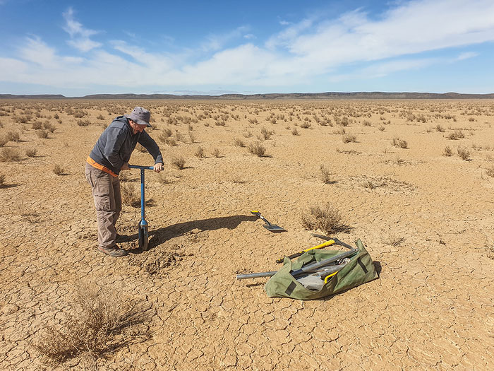
The scientists studied three lakes from the arid western interior of South Africa to as far east as Kimberley. As well as dating shorelines using radiocarbon and luminescence dating methods, they estimated the lake sizes and capacities. Computer models of regional hydrology showed that the conditions necessary to create the studied lakes would have led to widespread changes in the region’s many (presently ephemeral) rivers and lakes as the water table rose.
Dr Carr added: “The next step is to start to look for sites where we can do more direct dating of the occurrence of stone tools in this region. The work shows that at times the region offered a range of resources, and the archaeological ‘gap on the map’ is much more likely to reflect the lack of sites preserving deep archaeological deposits.
“The region is quite challenging for archaeology as most materials lie in the open on the desert surface with no stratigraphic context — hence it’s very difficult to know how long it’s been there.”


